
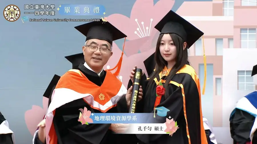
賀!碩士班孔千勻獲台大研究生校長獎(Top 1%)
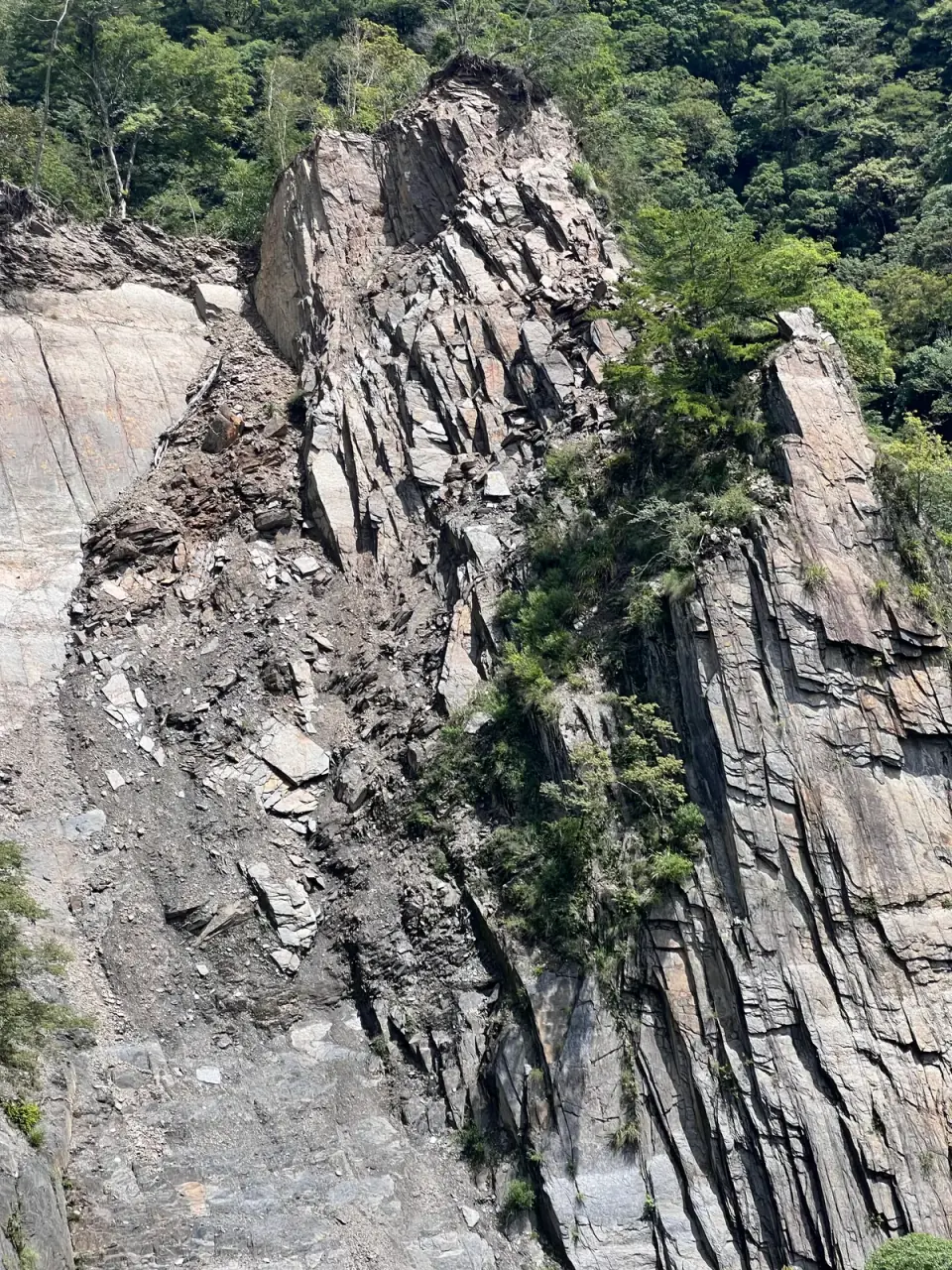
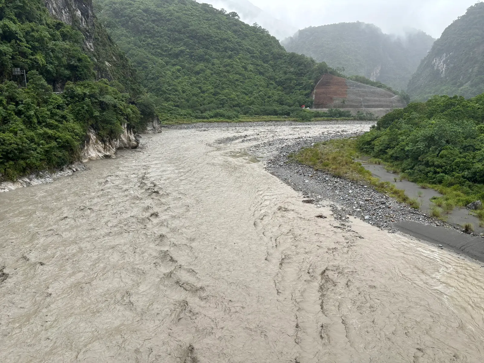

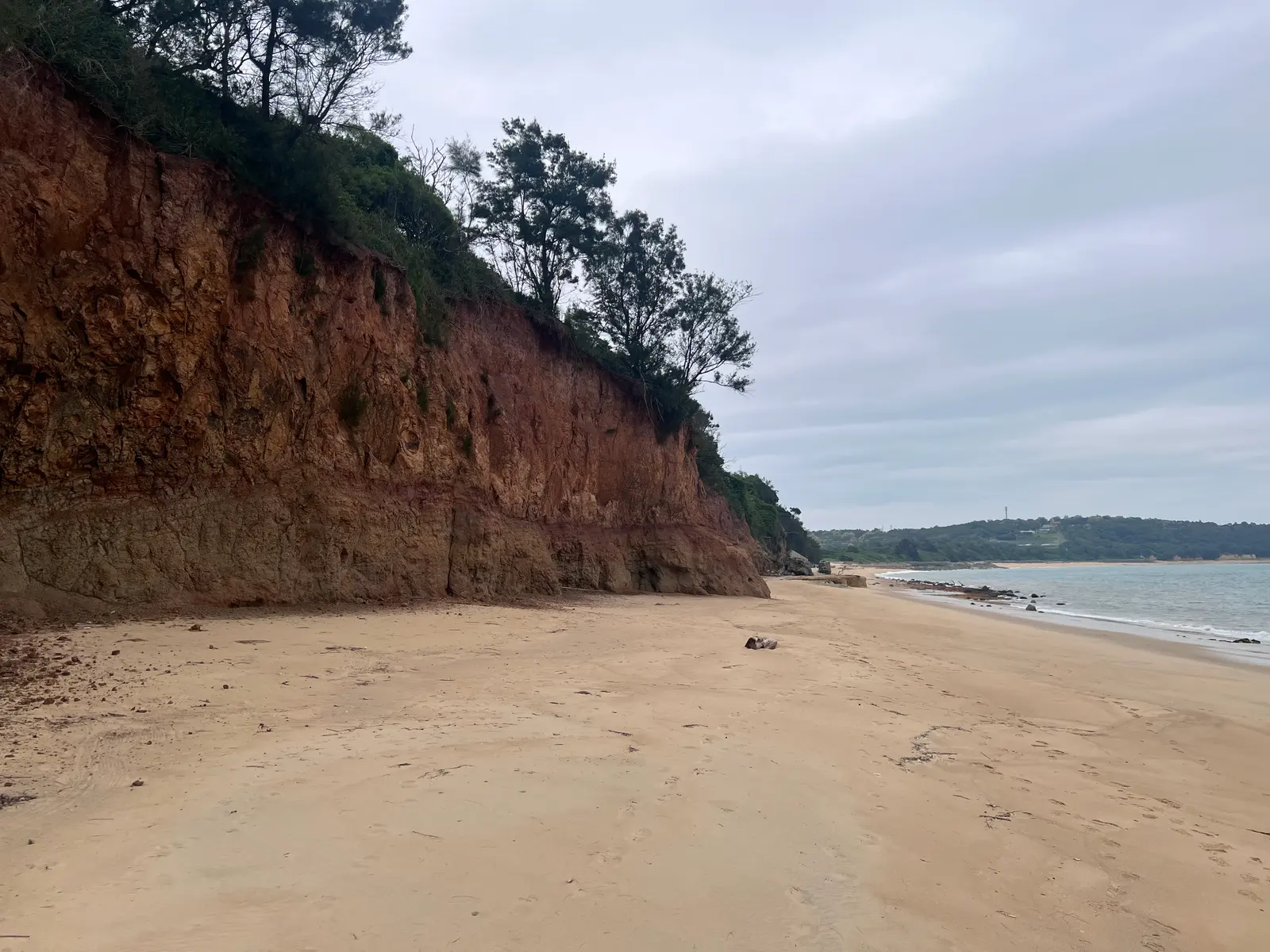
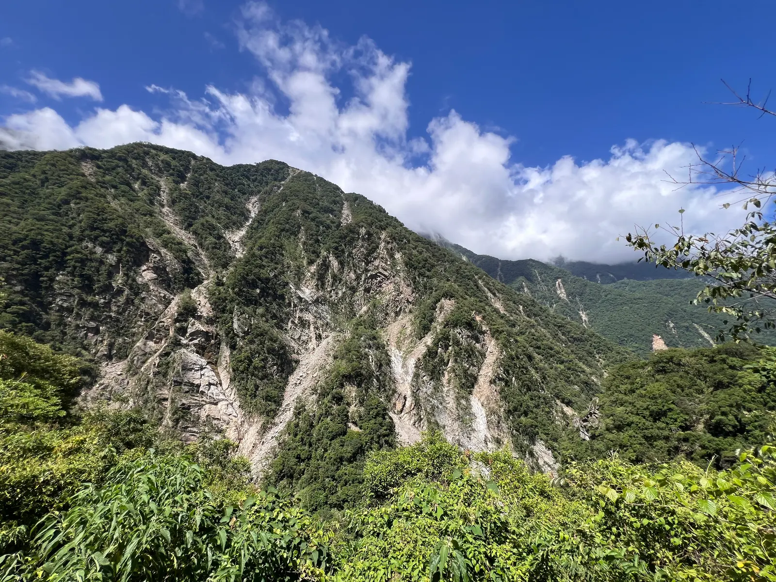
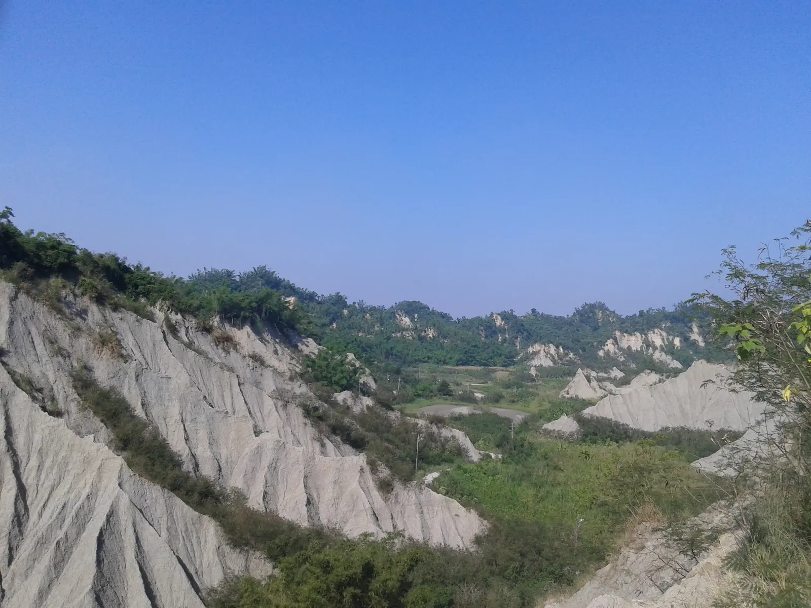
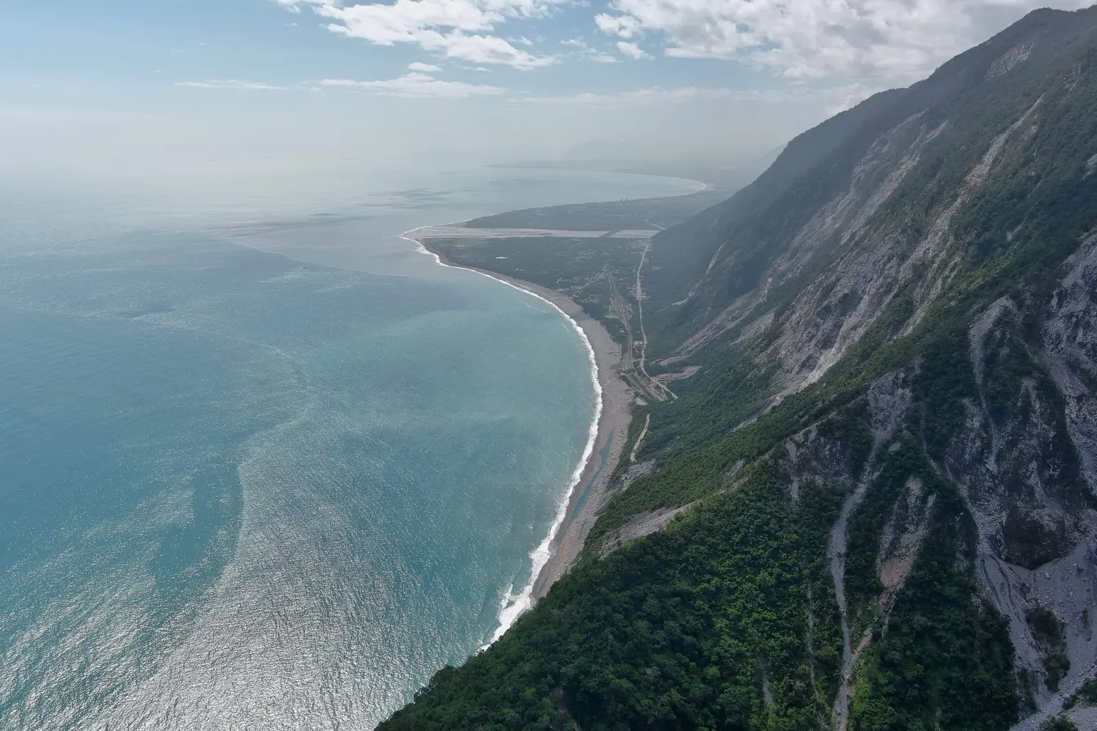
地景如何形成、改變與恢復?
我們研究構造、氣候、極端事件與人類活動如何塑造地表。從臺灣山地到全球集水區,結合野外觀測、數值地形分析、模型與室內實驗,連結個別事件的作用與長期地景演育。
最新消息
印尼日惹大學 Prof. Junun Sartohadi 率團來訪
賀!博士班蔡承樺獲期刊論文出版獎勵
賀!楊啟見獲教學優良獎(Top 4.5%)
賀!碩士班孔千勻獲期刊論文出版獎勵
賀!碩士班孔千勻獲理學院院長獎(Top 5%)
賀!碩士班史昕曄和孔千勻畢業
印尼日惹大學 Prof. Eko Haryono 率團來訪
賀!楊啟見獲優良論文獎
法國艾克斯-馬賽大學 Prof. Lionel Siame 來訪
德國地學中心 Dr. Jens Turowski 率團來訪
賀!大學部郭映妤獲理學院院長獎(Top 5%)
英國杜倫大學 Prof. John Wainwright 與 Dr. Laura Turnbull-Lloyd 來訪
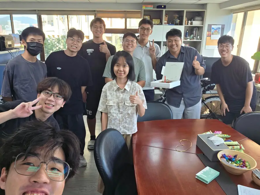
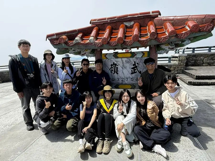
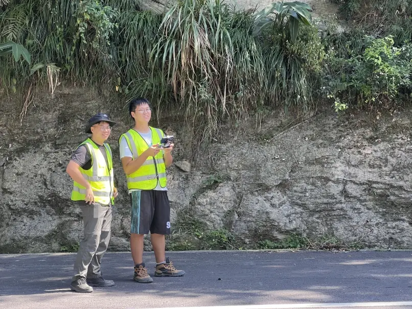
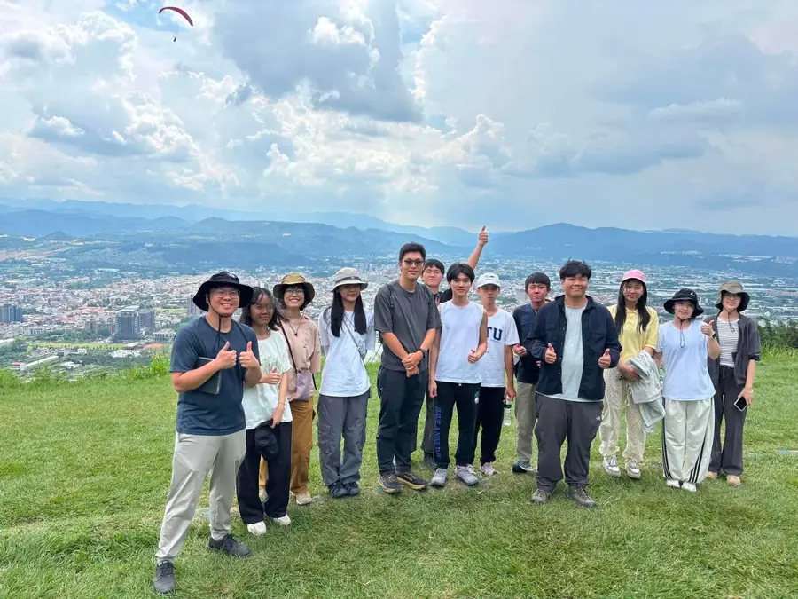
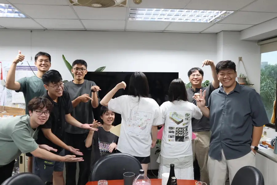
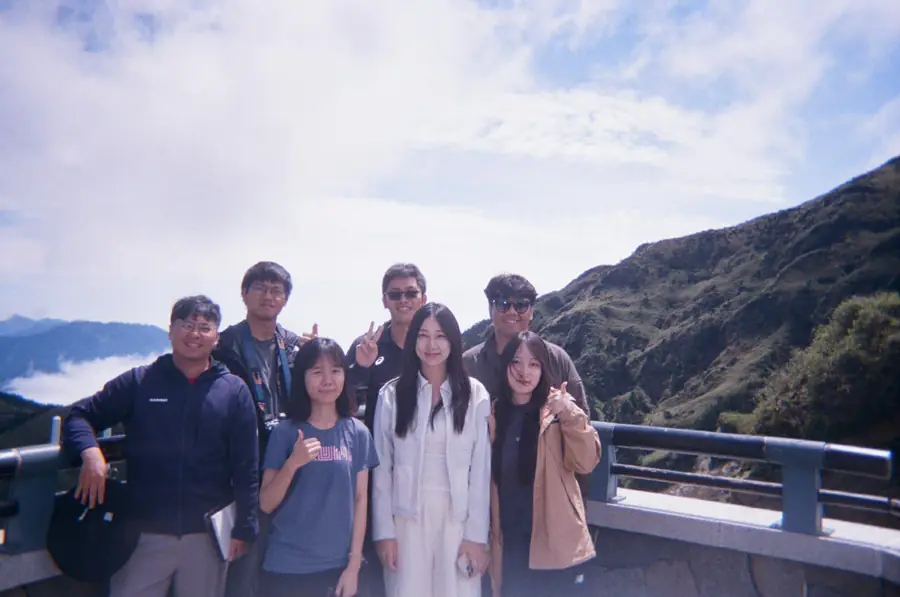
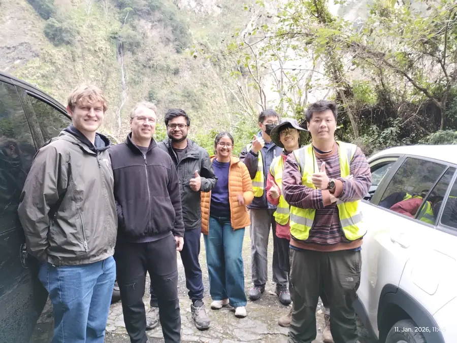
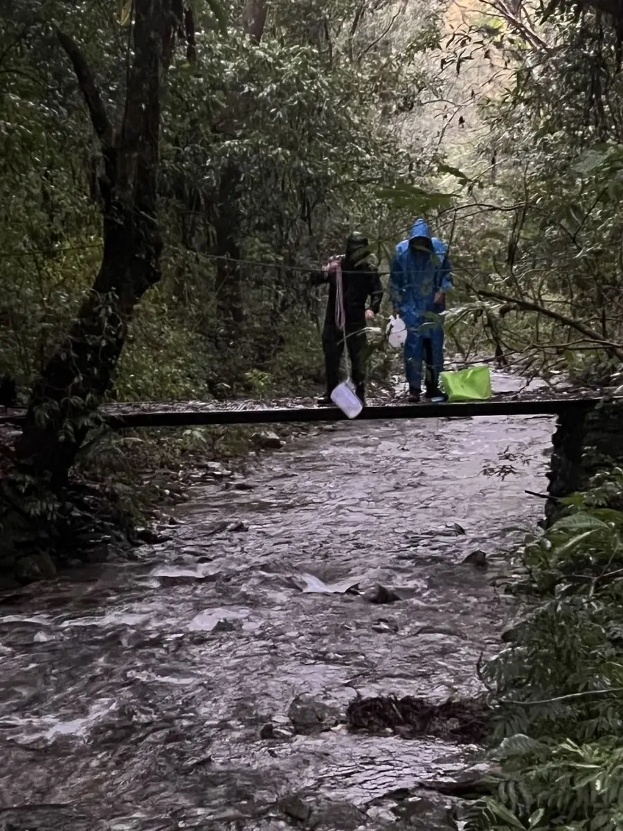
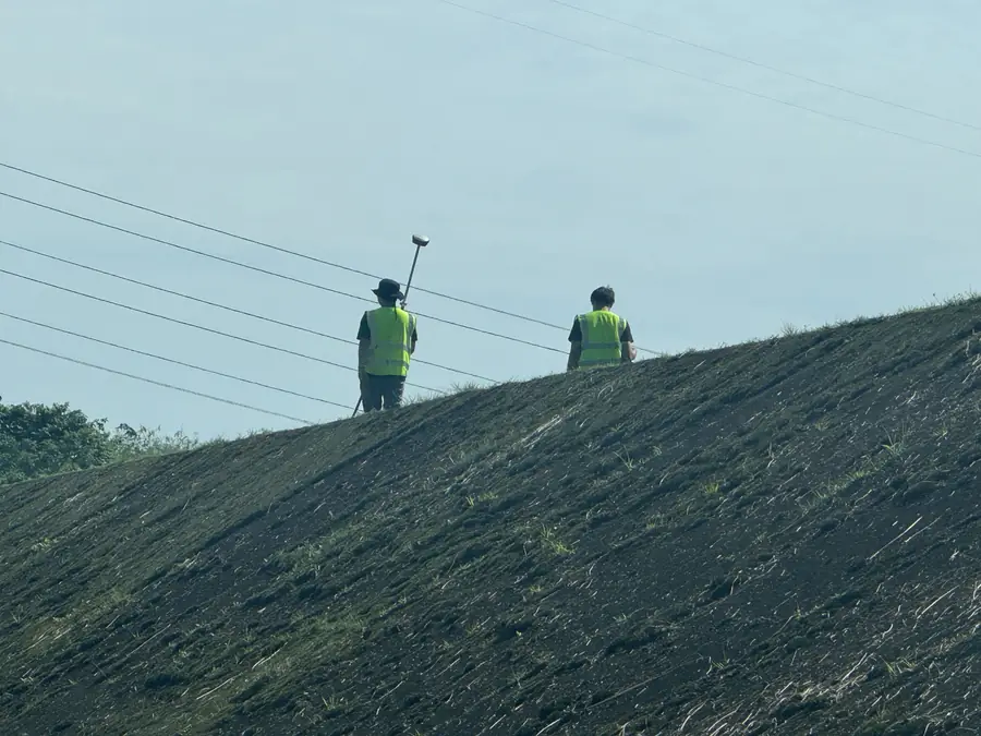
活動照片
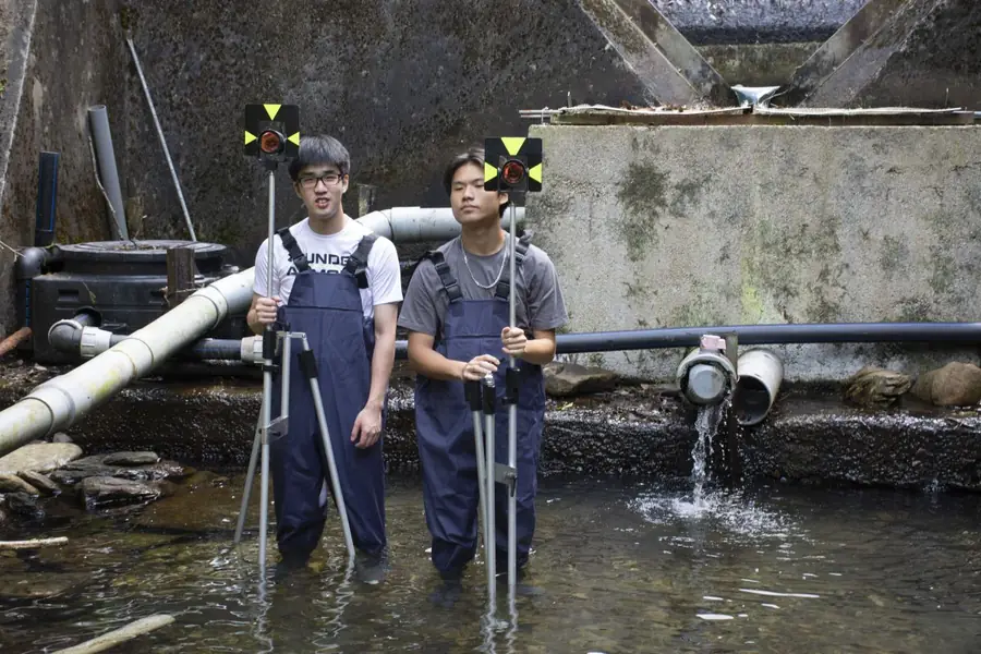
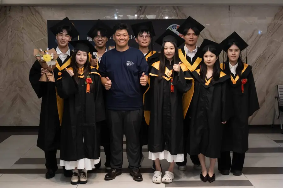
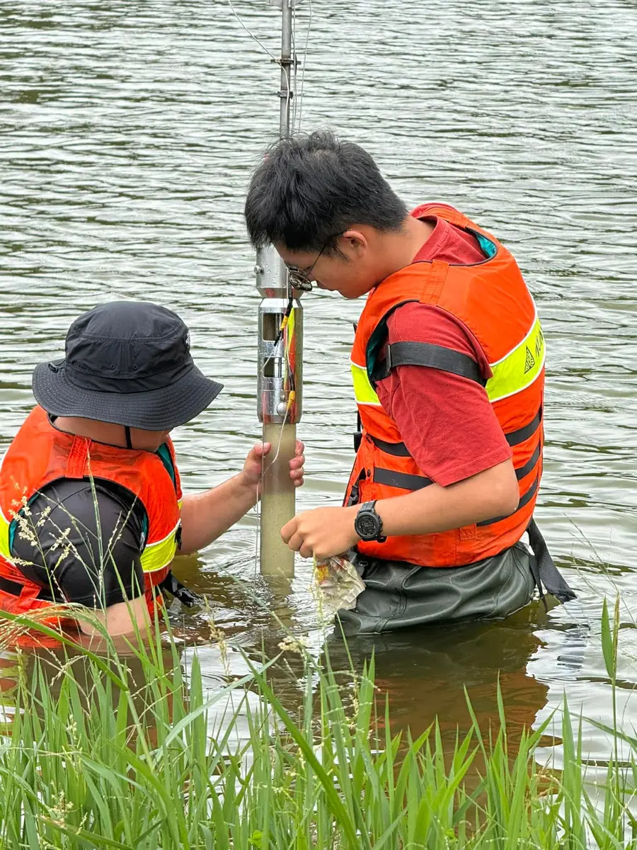
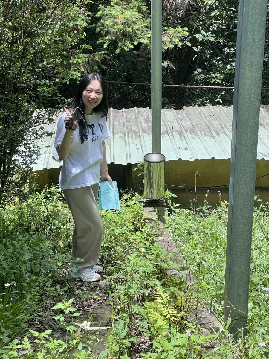
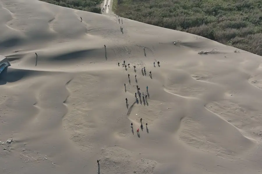
研究方向
地形演育
Landscape Evolution
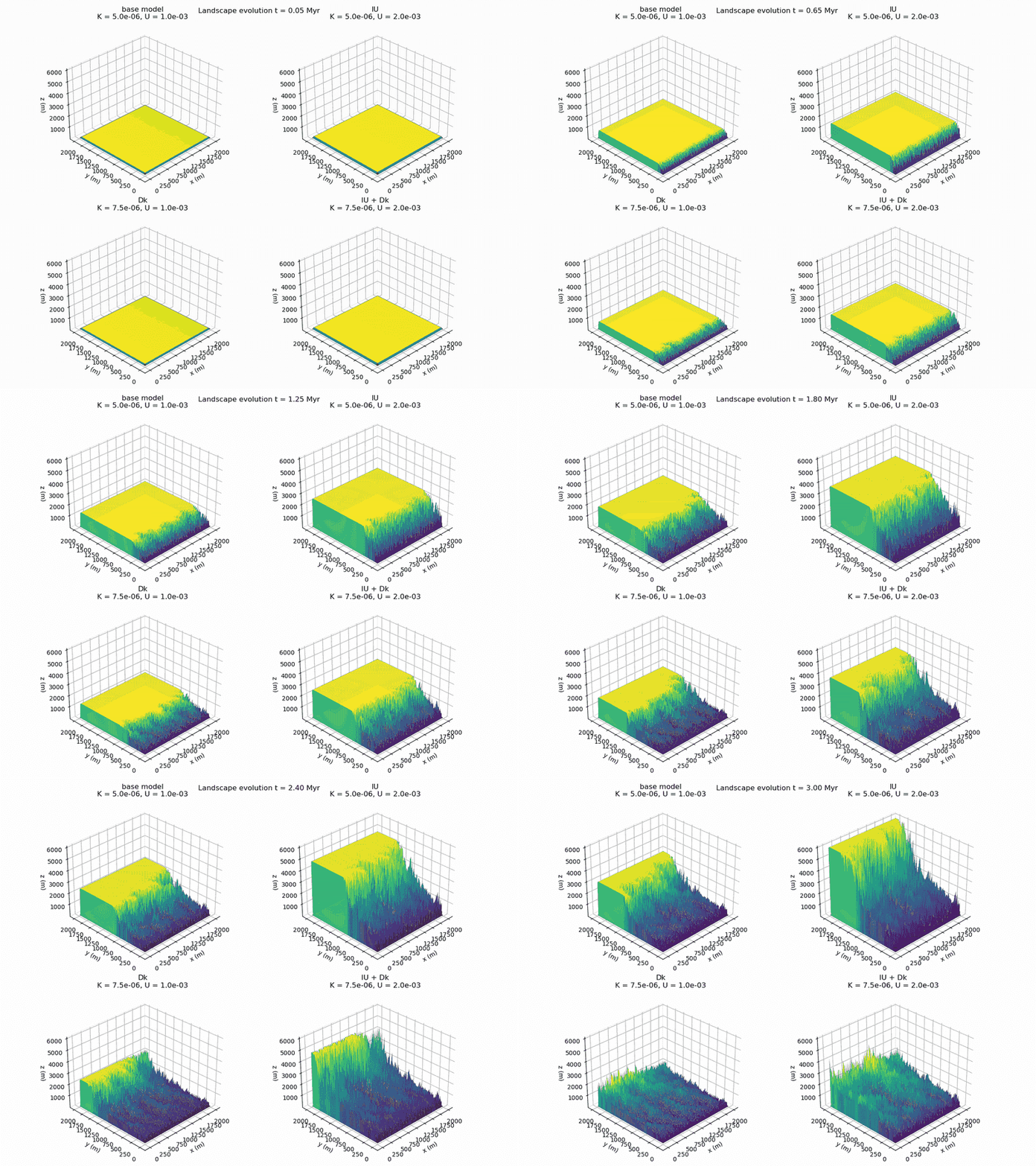
研究降雨與構造活動如何控制侵蝕與地形變遷,並透過邊坡、河道與集水區幾何,探索不同環境下的共同機制。
關鍵帶地表作用
Critical Zone Surface Processes
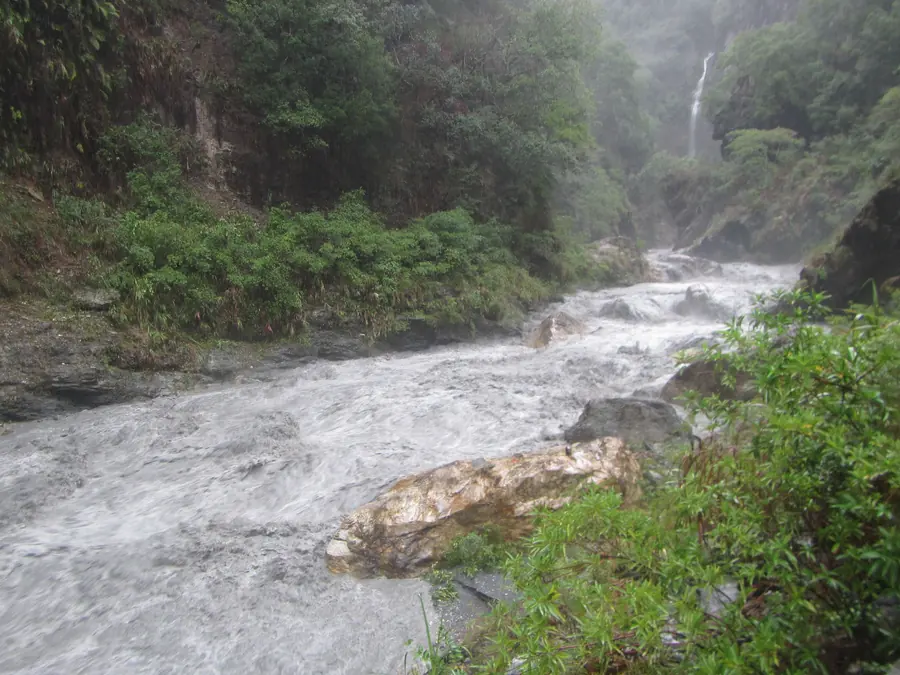
連結水文、風化與物質傳輸,探究沉積物的產生、儲存和輸出。
地景韌性
Landscape Resilience
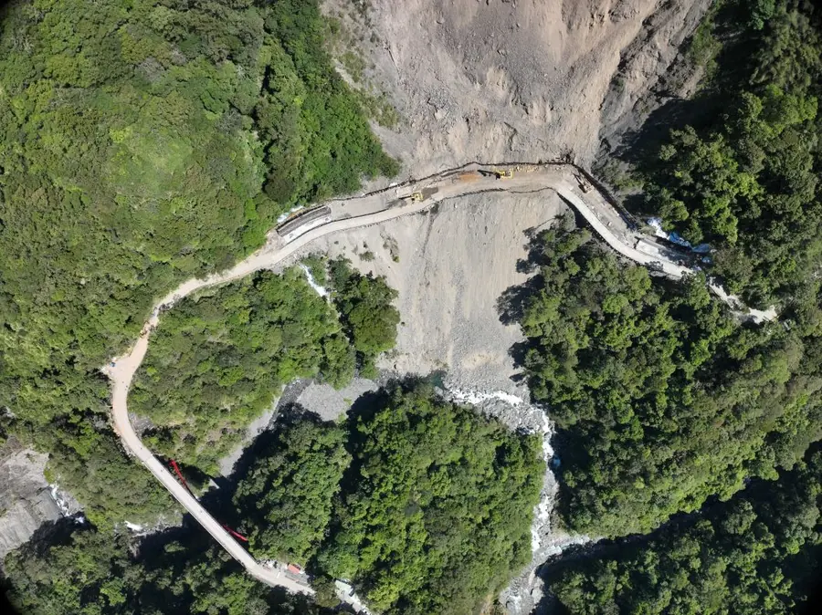
追蹤極端地形事件後的沉積物供應和河道調整,結合野外觀測與數值模擬,理解山地集水區的重組與恢復。
代表著作
2026
Typhoon-driven near-surface groundwater dynamics revealed by ambient noise in the mountain watershed
Cheng-Hua Tsai+, Luc Illien, Li-Wei Chen, and Ci-Jian Yang*
Geophysical Research Letters, 53(18), e2026GL124584
結合環境地震雜訊與水文觀測,追蹤颱風後的近地表地下水變化。結果顯示,單次颱風可引發持續且具有空間差異的地下水反應:上游約十天後恢復,下游的反應則持續至少三個月,顯示流域內地下儲水與水文條件存在顯著差異。我們也觀察到淺層與受壓地下水系統可能出現連動與脫鉤的時序變化。
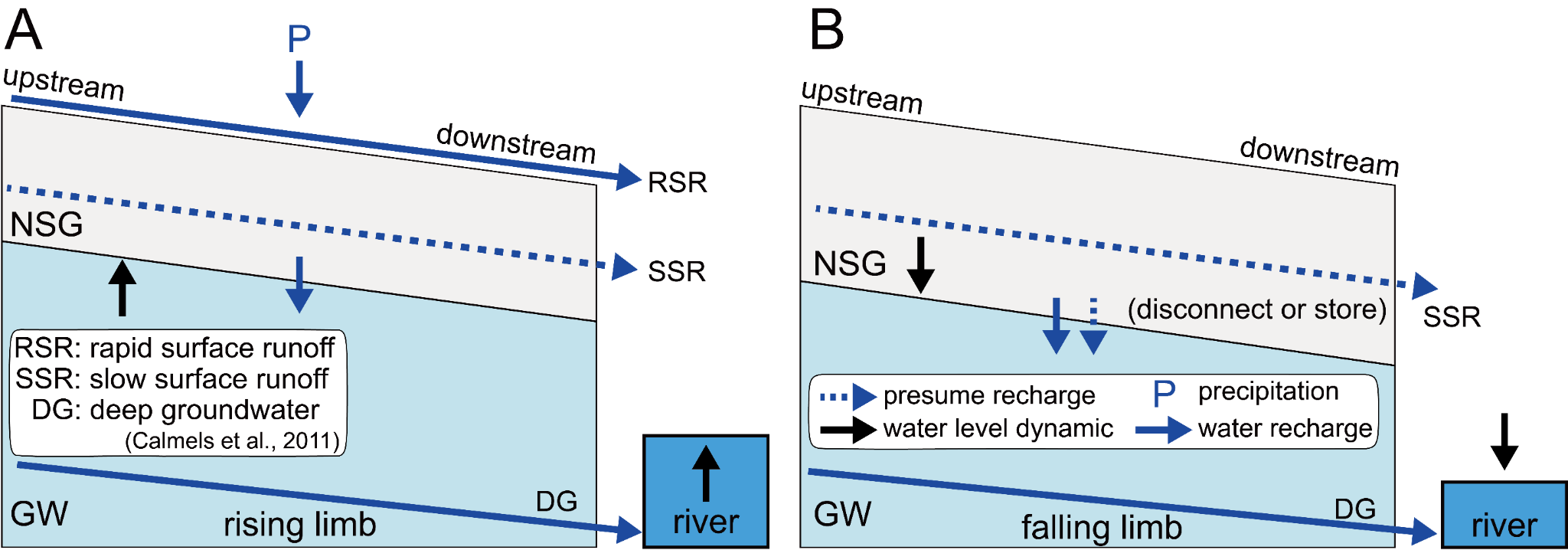
Tsai et al. (2026)
2026
Integrating deep-learning detection and hydrological monitoring for driftwood flux estimation in a steep tropical watershed during a typhoon-driven flood
Qian-Yun Kong+, Ci-Jian Yang*, Cheng-Hua Tsai, and Meng-Yu Lee
Journal of Hydrology, 679, 136183
整合 YOLOv8、定時攝影、無人機影像與水文資料,建立颱風事件尺度的漂流木通量估算流程,並以 RFID 標記木材校正面積與體積的關係。研究量化漂流木及其碳輸送,並發現河岸木材偏向堆積於外彎。
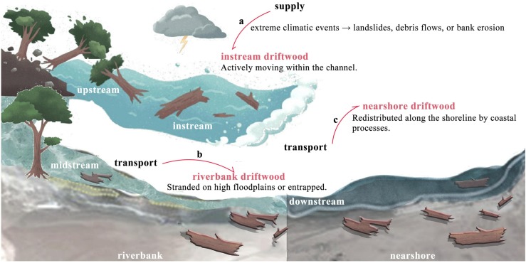
Kong et al. (2026) · Figure 1
2025
Anthropogenic disruption of sediment connectivity by embankment dams in the fast-eroding badland basin
Ci-Jian Yang*, Cheng-Hua Tsai, and Ying-Tong Lin
Geomorphology, 488, 109981
結合約 50 年輸砂與降雨紀錄及光達地形資料,分析堤壩如何改變沉積物連通性。1970–2023 年下游懸浮輸砂量下降 79%;設有堤壩的平底谷地,沉積量約為無堤壩谷地的三倍,凸顯人為構造對源匯輸送的控制。
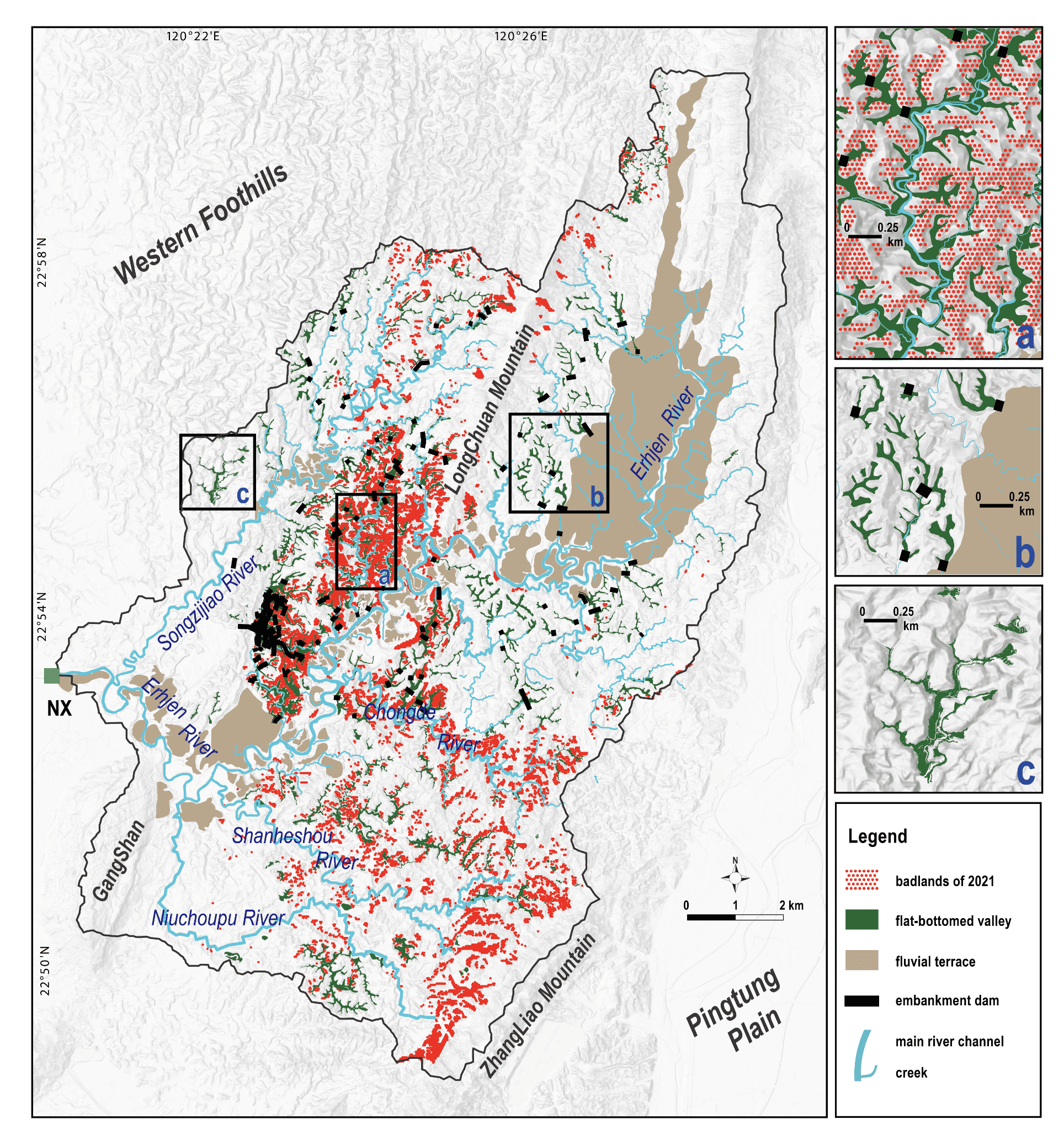
2025
Badland distribution as a marker of rapid tectonic activity
Ci-Jian Yang*, Jens M. Turowski, Boris Gailleton, Chun-Wei Tseng, Chuan-Min Chao, and Ray Y. Chuang
Scientific Reports, 15, 15912
利用臺灣西南部 1 公尺解析度光達地形資料,發現惡地集中於抬升速率超過每年 7 毫米的區域。惡地所在高程亦對應約 1,300–1,500 年前的快速抬升,顯示其分布與形態可記錄千年尺度的構造活動與支流下切。
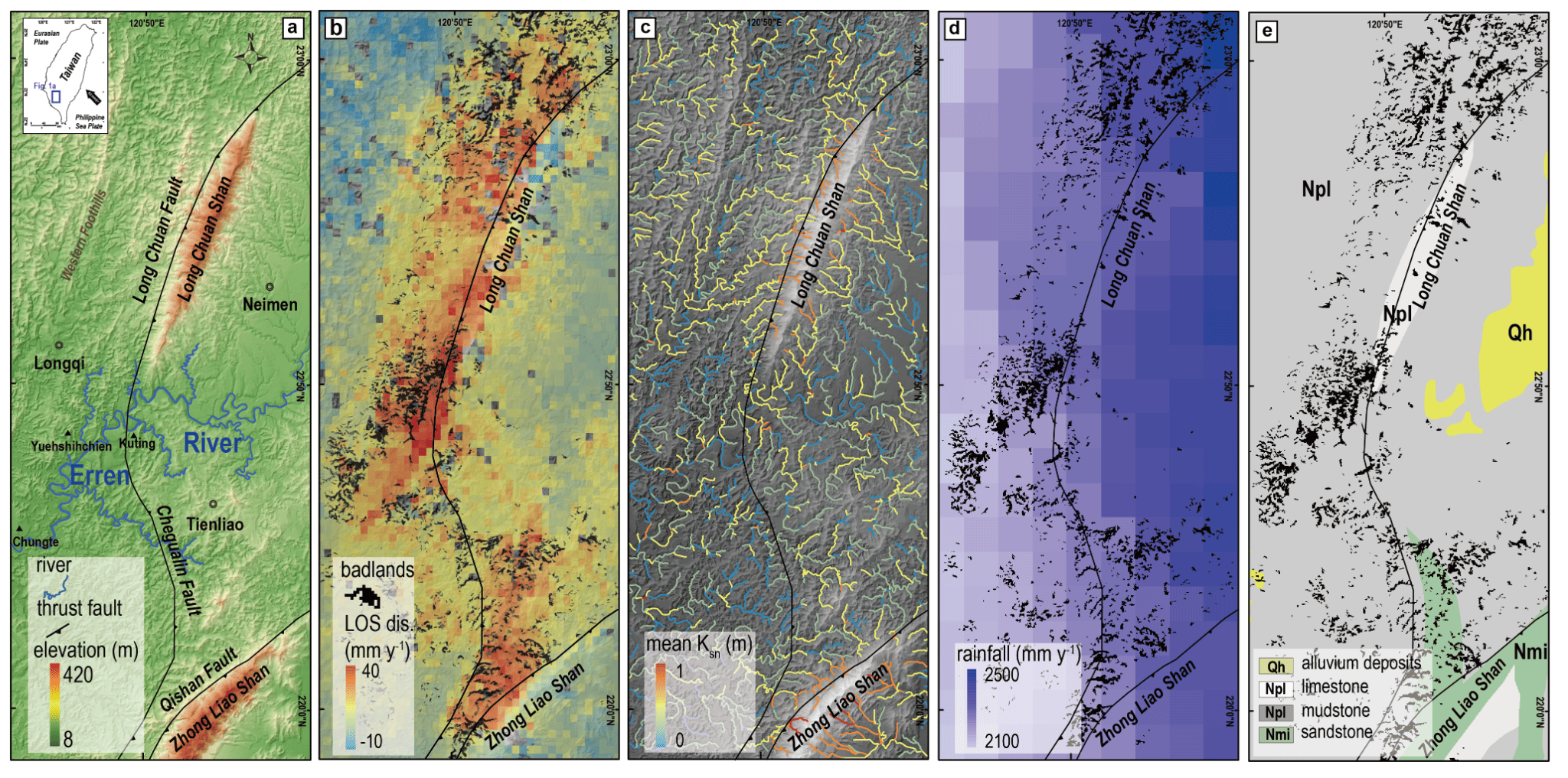
2024
Measuring bedload motion time at second resolution using Benford’s law on acoustic data
Ci-Jian Yang*, Jens M. Turowski, Qi Zhou, Ron Nativ, Hui Tang, Jui-Ming Chang, and Wen-Sheng Chen
Earth and Space Science, 11(7), e2023EA003416
將 Benford 法則應用於三年水下聲學紀錄,以秒級解析度辨識底床顆粒運動,並區分水流與背景噪音。辨識出持續約 17 與 45 小時的兩次推移質事件,提供從龐大監測資料中篩選輸砂事件的有效方法。
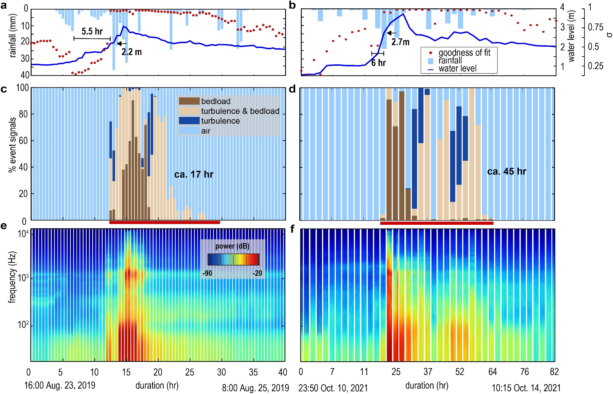
Yang et al. (2024) · Figure 4
2024
A global dataset of the shape of drainage systems
Chuanqi He, Ci-Jian Yang, Jens M. Turowski, Richard F. Ott, Jean Braun, Hui Tang, Shadi Ghantous, Xiaoping Yuan, and Gaia Stucky de Quay
Earth System Science Data, 16(2), 1151–1166
以 90 公尺解析度 DEM 建立 Basin90m,收錄約 67 萬個面積超過 50 平方公里的集水區及最長河道。資料包含集水區形狀、河長與彎曲度等指標,支持全球地形幾何、水文與生態連通性的跨區域比較。
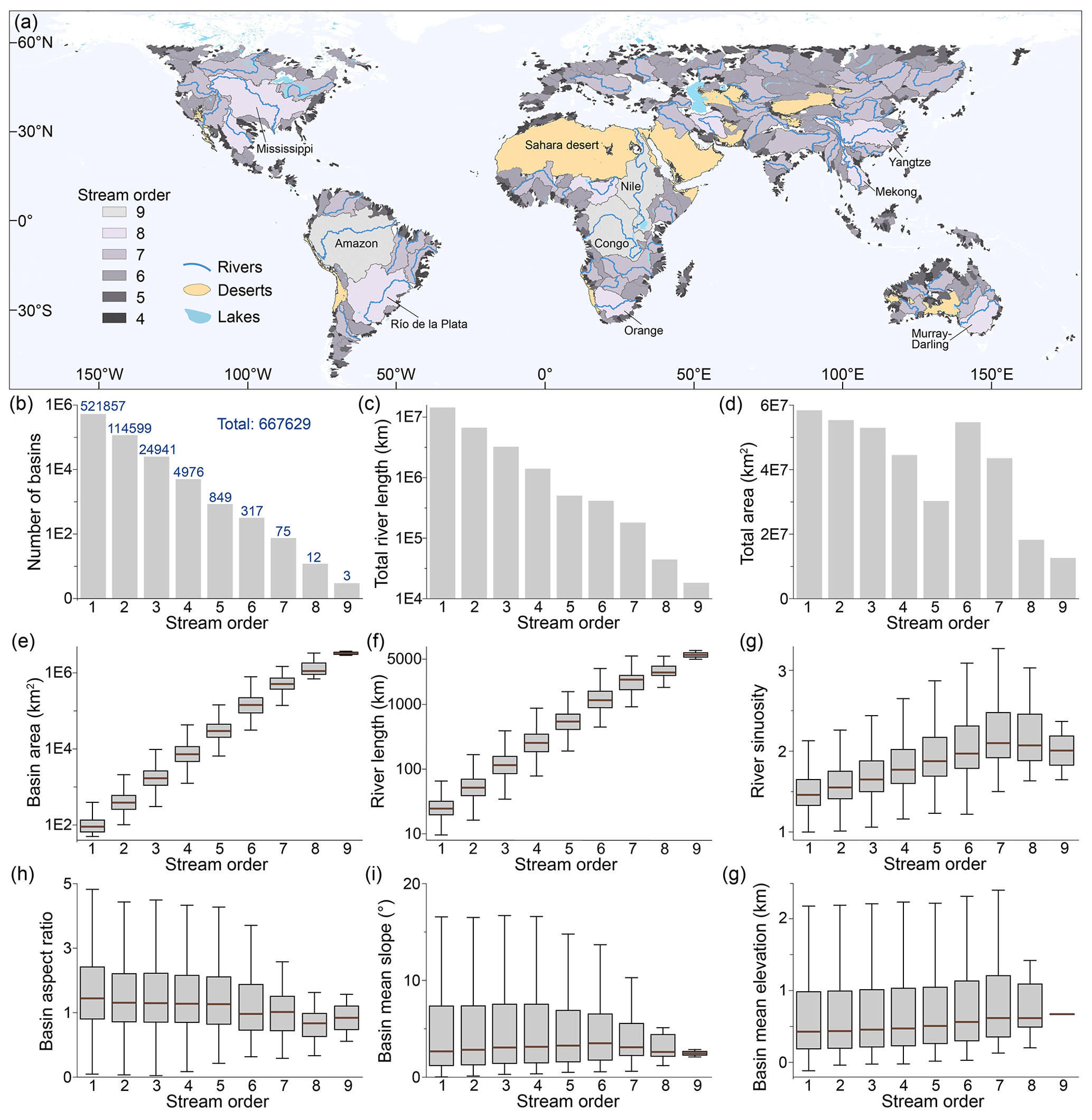
He et al. (2024) · Figure 3
完整著作列表 · 36 篇
* 通訊作者;** 共同第一作者;+ 指導學生
2026
Typhoon-driven near-surface groundwater dynamics revealed by ambient noise in the mountain watershed
Cheng-Hua Tsai+, Luc Illien, Li-Wei Chen, and Ci-Jian Yang*
Geophysical Research Letters, 53(18), e2026GL124584
2026
Integrating deep-learning detection and hydrological monitoring for driftwood flux estimation in a steep tropical watershed during a typhoon-driven flood
Qian-Yun Kong+, Ci-Jian Yang*, Cheng-Hua Tsai, and Meng-Yu Lee
Journal of Hydrology, 679, 136183
2026
Divergent contributions of acidic and neutralization potential to precipitation acidity across islet, urban and forest sites, northern Taiwan
Chung-Te Chang, Ci-Jian Yang, Chiu-Hsien Wang, Jr-Chuan Huang, Neng-Huei Lin, and Teng-Chiu Lin
Environmental Pollution, 406, 128630
2025
Anthropogenic disruption of sediment connectivity by embankment dams in the fast-eroding badland basin
Ci-Jian Yang*, Cheng-Hua Tsai, and Ying-Tong Lin
Geomorphology, 488, 109981
2025
Badland distribution as a marker of rapid tectonic activity
Ci-Jian Yang*, Jens M. Turowski, Boris Gailleton, et al.
Scientific Reports, 15, 15912
2025
Stationary boulders increase river seismic frequency via turbulence
Ron Nativ, Jens M. Turowski, Jui-Ming Chang, Niels Hovius, Ci-Jian Yang, et al.
Geophysical Research Letters, 52(6), e2024GL113784
2024
Benford’s law as debris flow detector in seismic signals
Qi Zhou, Hui Tang, Jens M. Turowski, Jean Braun, Michael Dietze, Fabian Walter, Ci-Jian Yang, and Sophie Lagarde
Journal of Geophysical Research: Earth Surface, 129(9), e2024JF007691
2024
Measuring bedload motion time at second resolution using Benford’s law on acoustic data
Ci-Jian Yang*, Jens M. Turowski, Qi Zhou, Ron Nativ, Hui Tang, Jui-Ming Chang, and Wen-Sheng Chen
Earth and Space Science, 11(7), e2023EA003416
2024
A global dataset of the shape of drainage systems
Chuanqi He, Ci-Jian Yang, Jens M. Turowski, Richard F. Ott, Jean Braun, Hui Tang, Shadi Ghantous, Xiaoping Yuan, and Gaia Stucky de Quay
Earth System Science Data, 16(2), 1151–1166
2024
Erosional modulation of the balance between alkalinity and acid generation from rock weathering
Sen Xu, Aaron Bufe, Si-Liang Li, Erica D. Erlanger, Lishan Ran, Jun Zhong, Ci-Jian Yang, Liwei Zhang, Tingting Ma, and Dirk Sachse
Geochimica et Cosmochimica Acta, 368, 126–146
2024
Is it because of climate change? Social-ecological system analysis of wetland protected area in Vietnamese Mekong Delta
Loan Thi Phan, Sue-Ching Jou, Chyi-Rong Chiou, and Ci-Jian Yang
Wetlands Ecology and Management, 32(1), 33–57
2023
Landscape structures regulate the contrasting response of recession along rainfall amounts
Jun-Yi Lee, Ci-Jian Yang, Tsung-Ren Peng, Tsung-Yu Lee, and Jr-Chuan Huang
Hydrology and Earth System Sciences, 27(23), 4279–4294
2023
Numerical examination of the geomorphic indicators for lateral fold growth
Lin Gao, Chuanqi He, Gang Rao, Ci-Jian Yang, Xiaoping Yuan, Jingtao Lai, Pengcheng Tang, and Lei Wu
Geomorphology, 432, 108702
2023
Mobile evaporite enhances the cycle of physical–chemical erosion in badlands
Ci-Jian Yang*, Pei-Hao Chen, Erica D. Erlanger, Jens M. Turowski, Sen Xu, Tse-Yang Teng, Jiun-Chuan Lin, and Jr-Chuan Huang
Earth Surface Dynamics, 11(3), 475–486
2023
Wet depositions of cations in forests across NADP, EMEP, and EANET monitoring networks over the last two decades
Chung-Te Chang, Ci-Jian Yang, and Jr-Chuan Huang
Environmental Science and Pollution Research, 30(10), 26791–26806
2022
Application of big data and environmental indicators to discuss the changes of coastal forest belts in southwestern Taiwan under climate change
Chih-Hsin Chung, Chih-Wei Chuang, Huan-Yu Lin, Ci-Jian Yang, and Chun-Wei Tseng
Journal of Taiwan Agricultural Engineering, 68(3), 62–75
2022
On the seasonality of long-range transport of acidic pollutants in East Asia
Chung-Te Chang, Lixin Wang, Lih-Jih Wang, Chiung-Pin Liu, Ci-Jian Yang, Jr-Chuan Huang, Chiao-Ping Wang, Neng-Huei Lin, and Teng-Chiu Lin
Environmental Research Letters, 17(9), 094029
2022
Changes of precipitation acidity related to sulfur and nitrogen deposition in forests across three continents in north hemisphere over last two decades
Chung-Te Chang, Ci-Jian Yang, Ko-Han Huang, Jr-Chuan Huang, and Teng-Chiu Lin
Science of the Total Environment, 806(Part 1), 150552
2022
Quantitative differences in water-resource conservation capacity associated with land-use changes in the Zhuokou River watershed
Jen-Yang Lin, Chun-Wei Tseng, Ci-Jian Yang, and Chih-Wei Chuang
Journal of Chinese Soil and Water Conservation, 53(1), 43–53
2021
Landscape response to normal fault linkage: Insights from numerical modeling
Chuanqi He, Ci-Jian Yang, Gang Rao, Duna C. Roda-Boluda, Xiaoping Yuan, Rong Yang, Lin Gao, and Li Zhang
Geomorphology, 388, 107796
2021
The effect of roughness spacing and size on the lateral deflection of bedload particles
Chuanqi He, Ci-Jian Yang, and Jens M. Turowski
Water Resources Research, 57(10), e2021WR029717
2021
Badland landscape response to individual geomorphic events
Ci-Jian Yang*, Jens M. Turowski, Niels Hovius, Jiun-Chuan Lin, and Kuo-Jen Chang
Nature Communications, 12(1), 4631
2021
Quantification of mudcracks-driven erosion using terrestrial laser scanning in laboratory runoff experiment
Ci-Jian Yang, Chia-Hung Jen, Yeuan-Chang Cheng, and Jiun-Chuan Lin
Geomorphology, 375, 107527
2021
Constraining tectonic uplift and advection from the main drainage divide of a mountain belt
Chuanqi He, Ci-Jian Yang**, Jens M. Turowski, Gang Rao, Duna C. Roda-Boluda, and Xiao-Ping Yuan
Nature Communications, 12, 544
2020
Application of high-resolution radar rain data to the predictive analysis of landslide susceptibility under climate change in the Laonong watershed, Taiwan
Chun-Wei Tseng, Cheng-En Song, Su-Fen Wang, Yi-Chin Chen, Jien-Yi Tu, Ci-Jian Yang, and Chih-Wei Chuang
Remote Sensing, 12(23), 3855
2020
Application of unmanned aerial vehicle (UAV)-acquired topography for quantifying typhoon-driven landslide volume and its potential topographic impact on rivers in mountainous catchments
Kuo-Jen Chang, Chun-Wei Tseng, Chih-Ming Tseng, Ta-Chun Liao, and Ci-Jian Yang*
Applied Sciences, 10(17), 6102
2020
Coseismic uplift of the 1999 Mw 7.6 Chi-Chi earthquake and implication to topographic change in frontal mountain belts
Ray Y. Chuang, Chih-Heng Lu, Ci-Jian Yang, Ya-Shien Lin, and Tsung-Yu Lee
Geophysical Research Letters, 47(15), e2020GL088947
2020
Seismic assessment of the Weihe Graben, central China: Insights from geomorphological analyses and ¹⁰Be-derived catchment denudation rates
Chuanqi He, Ci-Jian Yang, Gang Rao, Xiao-Ping Yuan, Duna C. Roda-Boluda, Yali Cheng, Rong Yang, Li Zhang, and Qi Yao
Geomorphology, 359(15), 107151
2020
Use of small unmanned aerial vehicle (sUAV)-acquired topography for identifying and characterizing active normal faults along the Seerteng Shan, North China
Gang Rao, Chuanqi He, Hanlin Chen, Xiaoping Yang, Xuhua Shi, Peng Chen, Jianmin Hu, Qi Yao, and Ci-Jian Yang
Geomorphology, 359(15), 107168
2019
Badland erosion and its morphometric features in the tropical monsoon area
Ci-Jian Yang*, Li-Wei Yeh, Yeuan-Chang Cheng, Chia-Hung Jen, and Jiun-Chuan Lin
Remote Sensing, 11(24), 3051
2019
Application for terrestrial LiDAR on mudstone erosion caused by typhoons
Yeuan-Chang Cheng, Ci-Jian Yang*, and Jiun-Chuan Lin
Remote Sensing, 11(20), 2425
2019
Divide migration in response to asymmetric uplift: Insights from the Wula Shan horst, North China
Chuanqi He, Gang Rao, Rong Yang, Jianmin Hu, Qi Yao, and Ci-Jian Yang
Geomorphology, 339, 44–57
2019
Mapping surface breakages of the 2018 Hualien earthquake by using UAS photogrammetry
Ya-Shien Lin, Ray Y. Chuang, Jiun-Yee Yen, Yi-Chin Chen, Yu-Ting Kuo, Bo-Lin Wu, Shao-Yi Huang, and Ci-Jian Yang
Terrestrial, Atmospheric and Oceanic Sciences, 30(3), 351–366
2018
Object-based classification for detecting landslides and vegetation recovery—A case at Baolai, Kaohsiung
Ying-Tong Lin, Kuo-Chen Chang, and Ci-Jian Yang
Journal of Chinese Soil and Water Conservation, 49(2), 98–109
2016
The process and mechanism of rill development on mudstone slope—A case study in Taiwan
Ci-Jian Yang*, Jiun-Chuan Lin, and Yuan-Chang Cheng
Journal of Geographical Science, 81, 27–42
2015
Application of terrestrial LiDAR on mudstone regolith erosion
Ci-Jian Yang*, Jiun-Chuan Lin, and Yuan-Chang Cheng
Journal of Chinese Soil and Water Conservation, 46(3), 150–157
實驗設備與現地觀測
實驗室
Sediment Laboratory (SedLab)
透過沉積物的粒徑分布與篩分結果,連結坡地、河道與集水區中的物質來源、輸送與儲存。
樣本採樣
- 底泥採樣器
- 橡皮艇
- 水下聲納
樣品前處理
樣品依研究需求進行乾燥、分散與篩分,建立可重現的粒徑分析流程。
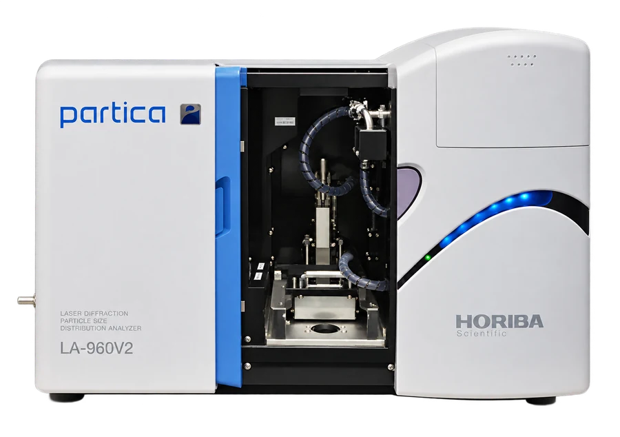
- Laser Diffraction Particle Size Analyzer LA950
- Sieve Shaker Retsch AS 200
現地觀測場域
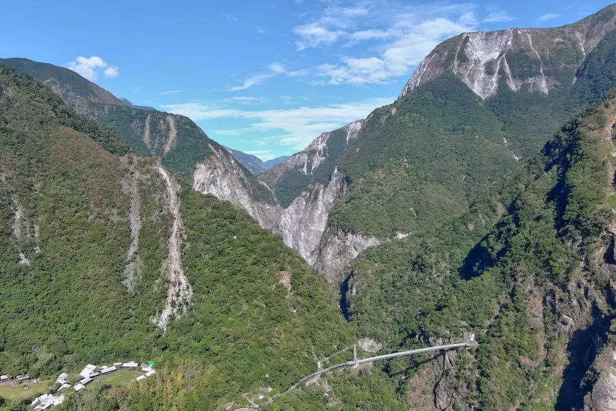
太魯閣國家公園
以高山溪流與快速侵蝕地景為天然實驗場,整合河川、坡地與極端事件的觀測。
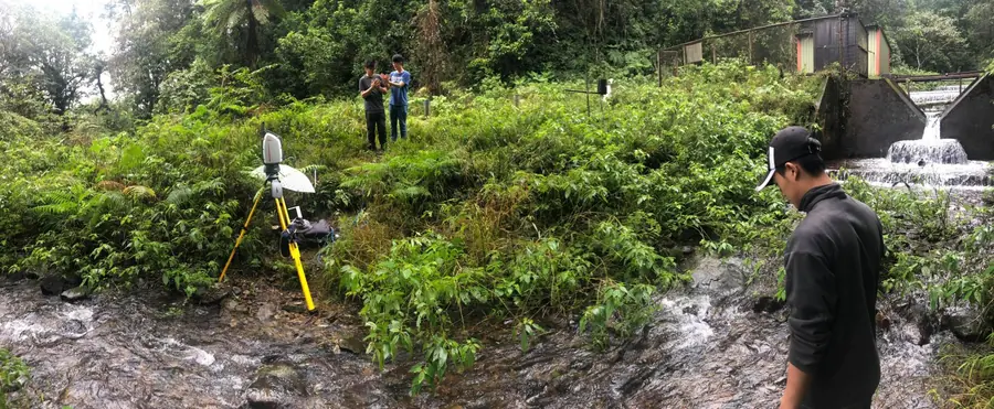
福山植物園一號集水區
在亞熱帶森林集水區觀察降雨、地下水與河川反應,連結植生與水文作用。
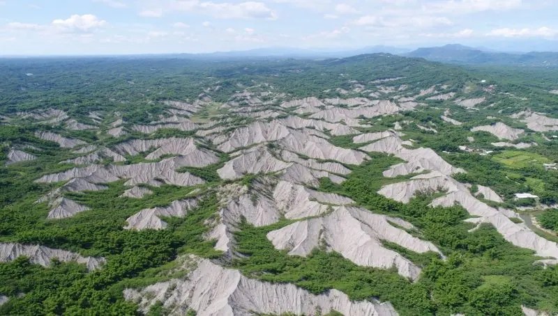
泥岩惡地地質公園
跨臺南與高雄惡地地景,追蹤邊坡侵蝕、沉積物連通性與人為活動的影響。
研究室成員
教師
Ci-Jian Yang / 楊啟見
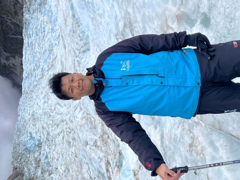
現任國立臺灣大學地理環境資源學系助理教授,研究聚焦地形演育、關鍵帶地表作用與地景韌性。
學經歷
國立臺灣大學 · 助理教授
地理環境資源學系
印尼日惹大學 · 客座講師
農學院土壤系
德國地球科學研究中心 · 博士後研究員
German Research Centre for Geosciences
國立臺灣大學 · 博士後研究員
國立臺灣大學 · 地理學博士
教學
從基礎概念到野外與計算方法
基礎概念
自然地理學通論Introduction to Physical Geography
地形學及實習Geomorphology and Lab
集水區地形學Drainage Basin Geomorphology
野外實習
野外地形學Field Geomorphology
計算方法
程式設計(英文授課)Programming (English)
數值地形分析與水文分析Terrain Analysis and Hydrologic Modeling
地表作用與演育Surface Processes and Landscape Evolution
榮譽與學術活動
獎項與榮譽
- 2026 教學優良教師, National Taiwan University
- 2026 優良論文獎, National Taiwan University
- 2025 Outstanding Thesis, Annual Meeting of the Geological and Geophysical Society
- 2024-2025 Top-Tier Talent Cultivation and Foundational Development Fund Grant
- 2023-2026 National Taiwan University Incentives for Newly Hired Exceptional Talent
- 2020 Vei-Chow Juan Thesis Award
- 2019 Outstanding Thesis, Taiwan Geosciences Assembly
- 2018 Outstanding Thesis, Annual Meeting of Geological and Geophysical Society
- 2017 Excellent Teaching Assistant Award
- 2016 Excellent Teaching Assistant Award
- 2015 Excellent Teaching Assistant Award
- 2014 Distinguished Academic Record (Top 5%), National Taiwan University
受邀演講
- 2025 Exploring Dynamic Landscapes through Digital Terrains and High-Quality Field Observations, Universitas Gadjah Mada, Indonesia.
-
2025 惡地地形特徵圖製作-以牛埔水土保持教室為例.
農業部農村發展與水土保持署
觀看影片 - 2025 Dynamic Landscapes: Perspectives from Digital Terrain Analysis and High-Quality Field Observation, National Taiwan Normal University.
- 2025 Taiwanese Badland Landscapes, Geological Park Society of Taiwan.
- 2024 From Gullies to Drainage Divide Migration, Department of Civil Engineering, National Taiwan University.
- 2023 Taiwanese Badlands, International Geographical Union.
研究獎助
- 2021–2022 MOST Recruiting Postdoctoral Fellowship, hosted by GFZ Potsdam
- 2020–2021 MOST Recruiting Postdoctoral Fellowship, hosted by National Taiwan University
- 2018–2019 Graduate Students Study Abroad Program, Ministry of Science and Technology, Taiwan
- 2011–2012 College Student Research Scholarship, Ministry of Science and Technology, Taiwan
學會會員
- European Geosciences Union (EGU)
- American Geophysical Union (AGU)
- Geographical Society of China
- Geological Park Society of Taiwan
- International Association of Geomorphologists (IAG)
博士生
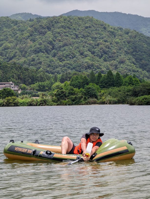
Cheng-Hua Tsai / 蔡承樺
2023–presentTyphoon-driven near-surface groundwater dynamics in mountain watersheds. Award: 教育部博士生獎學金
碩士生
Jun-Yang Lee / 李雋揚
2024–presentChannel sediment dynamics driven by coseismic landslides

Meng-Yu Lee / 李孟聿
2024–presentChannel sediment dynamics driven by coseismic landslides
Ying-Yu Guo / 郭映妤
2025–presentGlobal landscape energy

Wei-Che Chien / 簡維哲
2025–presentPost-landslide vegetation recovery
Hsin-Yu Hsieh / 謝昕佑
2026–presentPost-landslide
Tao-Hsiao Yun / 陶曉芸
2026–presentPost-landslide
Cheng-Jui Liu / 劉烝睿
2026–presentPost-landslide sediment
大學生

Yu-Lun Chung / 鐘育綸
2026–present
Yun-Shen Liu / 劉昀珅
2026–present畢業學生 · 碩士

Qian-Yun Kong / 孔千勻
2023–2026Integrating deep learning detection and hydrological monitoring for driftwood flux during a typhoon-driven flood. Awards: 理學院院長獎、台大研究生校長獎

Shin-Ye Shih / 史昕曄
2024–2026Vegetation-driven disparities in enhanced olivine weathering: From multi-year forest trials to global deployment
畢業學生 · 學士
Ying-Yu Guo / 郭映妤
2023–2025Global controls on drainage basin geometry. Award: 理學院院長獎
研究計畫
Landscape energy based framework for catchment resilience: fluvial sediment production, reorganization, and recovery pathways. Funded by the National Science and Technology Council (NSTC), Taiwan.
115年土砂災害主題式地形特徵圖產製及應用。農業部農村發展及水土保持署委託計畫。
森林集水區河流洪水期間土地利用對河流沉積物輸送的控制. 農業部林業試驗所委託計畫。
114年土砂災害主題式地形特徵圖產製及應用。農業部農村發展及水土保持署委託計畫。
K-INET Joint Research Program (international). Funded by the Institute of Nature and Environmental Technology at Kanazawa University.
K-INET Joint Research Program (international). Funded by the Institute of Nature and Environmental Technology at Kanazawa University.
惡地地形特徵圖製作-以牛埔水土保持教室為例。農業部農村發展及水土保持署委託計畫。
Rainstorm controls on sediment transportation and near-surface water cycle within critical zone. Funded by the National Science and Technology Council (NSTC), Taiwan.